Bangladesh Railway Route Map & Zones Guide 2026: East Zone & West Zone Network Overview
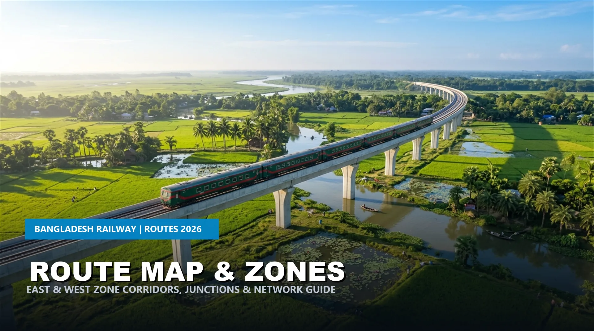
Navigating the comprehensive Bangladesh Railway route map is the foundation of smooth intercity travel across the nation. In 2026, Bangladesh Railway operates an extensive network spanning over 3,100 route kilometers, divided administratively into two operational regions: the East Zone and the West Zone, separated naturally by the mighty Jamuna and Padma river basins.
Recent infrastructure breakthroughs—most notably the historic Padma Bridge Rail Link connecting Dhaka directly to south-western districts and the scenic Dohazari-Cox’s Bazar rail corridor—have reshaped the modern rail map. Whether you are tracking routes on Bangladesh Railway train tracking or planning an itinerary, this master guide breaks down railway zones, major junctions, track gauges, and connecting lines.
Network Architecture at a Glance
Over 3,100 Route KM
East Zone & West Zone
Kamalapur, Joydebpur, Ishwardi
Broad, Meter & Dual Gauge
Administrative Zones on the Bangladesh Railway Route Map
To ensure efficient train operations, signalling, and rolling stock maintenance, Bangladesh Railway is divided into two primary zones, each overseen by a General Manager:
1. East Zone (Headquarters: Chittagong)
The East Zone encompasses all railway infrastructure east of the Jamuna River, covering Dhaka, Chittagong, Sylhet, and Mymensingh divisions:
- Dhaka Division: Centered at Kamalapur Railway Station and Dhaka Airport, handling high-density intercity traffic toward all regional corridors.
- Chattogram Division: Manages the busy Dhaka-Chattogram trunk line, the Laksham-Chandpur branch, and the newly commissioned Dohazari to Cox’s Bazar tourist rail line.
- Sylhet Line: Connects Dhaka and Chattogram to Akhaura, Kulaura, Sylhet, and Chhatak Bazar.
- Mymensingh Division: Operates lines through Joydebpur, Gafargaon, Mymensingh, Jamalpur, and Dewanganj Bazar.
2. West Zone (Headquarters: Rajshahi)
The West Zone covers railway networks west of the Jamuna River, encompassing Rajshahi, Khulna, and Rangpur divisions:
- Paksey Division: Manages Ishwardi Junction, Rajshahi, Kushtia, Chuadanga, and the southern lines to Jashore and Khulna.
- Lalmonirhat Division: Oversees northern routes serving Bogura, Santahar Junction, Parbatipur, Dinajpur, Rangpur, Lalmonirhat, and Panchagarh.
- Padma Bridge Rail Link Corridor: Directly connects Dhaka with Bhanga, Faridpur, Gopalganj, Narail, and Jashore without routing through the Jamuna Bridge.
Major Rail Junctions on the Bangladesh Railway Route Map
| Railway Junction | Zone | Connecting Corridors | Track Gauge |
|---|---|---|---|
| Dhaka Kamalapur | East | National Hub (North, East, West & South) | Dual Gauge |
| Joydebpur Junction | East | Splits Dhaka traffic toward Mymensingh vs Jamuna Bridge | Dual Gauge |
| Akhaura Junction | East | Chattogram, Sylhet, and Agartala (India) link | Dual / Meter Gauge |
| Ishwardi Junction | West | Gateway to Khulna, Rajshahi, and Northern divisions | Broad / Dual Gauge |
| Parbatipur Junction | West | Quad-directional hub connecting Dinajpur, Rangpur, Santahar | Dual Gauge |
| Bhanga Junction | West | Padma Bridge hub branching to Faridpur, Rajbari, Jashore | Broad Gauge |
Track Gauge Distribution on the Bangladesh Railway Route Map
A distinctive historical characteristic of the Bangladesh rail network is the coexistence of two main track gauges:
- Broad Gauge (1,676 mm): Predominant in the West Zone (Rajshahi and Khulna divisions) and the new Padma Bridge Rail Link. Offers higher train stability and heavier freight capacity.
- Meter Gauge (1,000 mm): Historically standard throughout the East Zone (Dhaka-Chattogram, Sylhet, and Mymensingh lines).
- Dual Gauge (Mixed Gauge): To enable seamless passenger train operation from the capital across the Jamuna Bridge into the West Zone, key trunk routes (Dhaka to Ishwardi, Parbatipur, and Joydebpur) feature three-rail Dual Gauge tracks accommodating both Broad Gauge and Meter Gauge train sets.
Game-Changing Modern Corridors on the Bangladesh Railway Route Map
Two monumental railway megaprojects have transformed travel itineraries in Bangladesh:
- Padma Bridge Rail Link Project (PBRLP): Enables high-speed rail transit from Dhaka to Bhanga, Gopalganj, Narail, and Jashore, slashing travel times between Dhaka and the southern coastal belt to under 3.5 hours.
- Dohazari-Cox’s Bazar Rail Line: Added 102 km of state-of-the-art railway track linking the tourist capital of Cox’s Bazar directly to the national network, served by high-demand luxury trains like the Cox’s Bazar Express and Tourist Express. Check the Bangladesh Railway ticket fare list for class fares on this route.
Frequently Asked Questions About Bangladesh Railway Route Map
How many railway zones exist in Bangladesh?
Bangladesh Railway operates two primary administrative zones: East Zone (headquartered in Chattogram) and West Zone (headquartered in Rajshahi).
Can trains travel directly between Dhaka and Cox’s Bazar?
Yes, non-stop and limited-stop intercity express trains operate directly between Dhaka Kamalapur and Cox’s Bazar Iconic Station daily via the newly constructed rail link.
Where can I find timetables for specific corridors on the route map?
You can browse comprehensive station-to-station corridor schedules on TrainSeba, such as the Dhaka to Sylhet train schedule and Dhaka to Khulna train schedule.